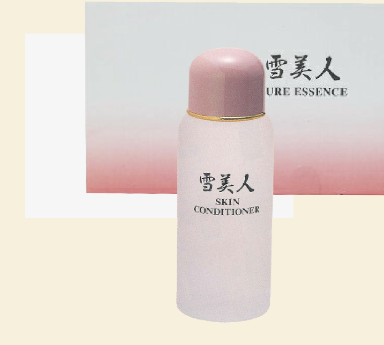
プラセンタ業界NO.1原料メーカー兼、製薬会社でもある寿康美が手掛けるエステティック専売化粧品ブランドです。
寿康美はプラセンタエキスを医療品に使用する承認を厚生労働省から得ているメーカーで、どのアイテムにも高濃度のプラセンタエキスが他メーカーでは類を見ないほど配合されています。
特にアトピーやニキビ肌の研究を専門にしているメーカーなので、乳児湿疹から敏感肌でお悩みの方にもぜひお使い頂きたい化粧品です。
-Line up
クリスタルソープ(プラセンタ配合透明固形石鹼)
スキンコンディショナー (化粧水)
ミルキーローション(美容乳液)
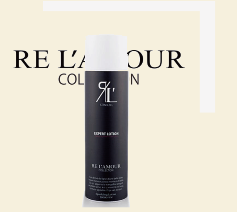
ピュアエッセンス(美容液)
医療レベルの高濃度炭酸100000PPM+11種類の幹細胞成分が配合されたスペシャルローションです。高濃度の炭酸が毛細血管を5倍にも拡張させて栄養を届けるので、導入アイテムしてピュアエッセンスと混ぜてのご使用もお勧めです。
さらに幹細胞が自身の細胞を活性させていきますのでアンチエイジングにも期待ができます。
Private esthe SALON AKANEIRO
手から、すべての想いがお客さまに伝わるサロン
PrivateEstheSalon AKANEIRO
Adress : 〒6730012 兵庫県明石市和坂12-10橋本ビル205
Tel: 078-203-1562
HP: https://akaneirosalon.com/